Geography of the Tankwa Karoo
A Harsh, Beautiful Silence
The Tankwa Karoo is a semi-desert region tucked between the Cederberg Mountains to the west and the Roggeveld Escarpment to the east, straddling the border of the Northern and Western Cape provinces of South Africa.
Landscape Features
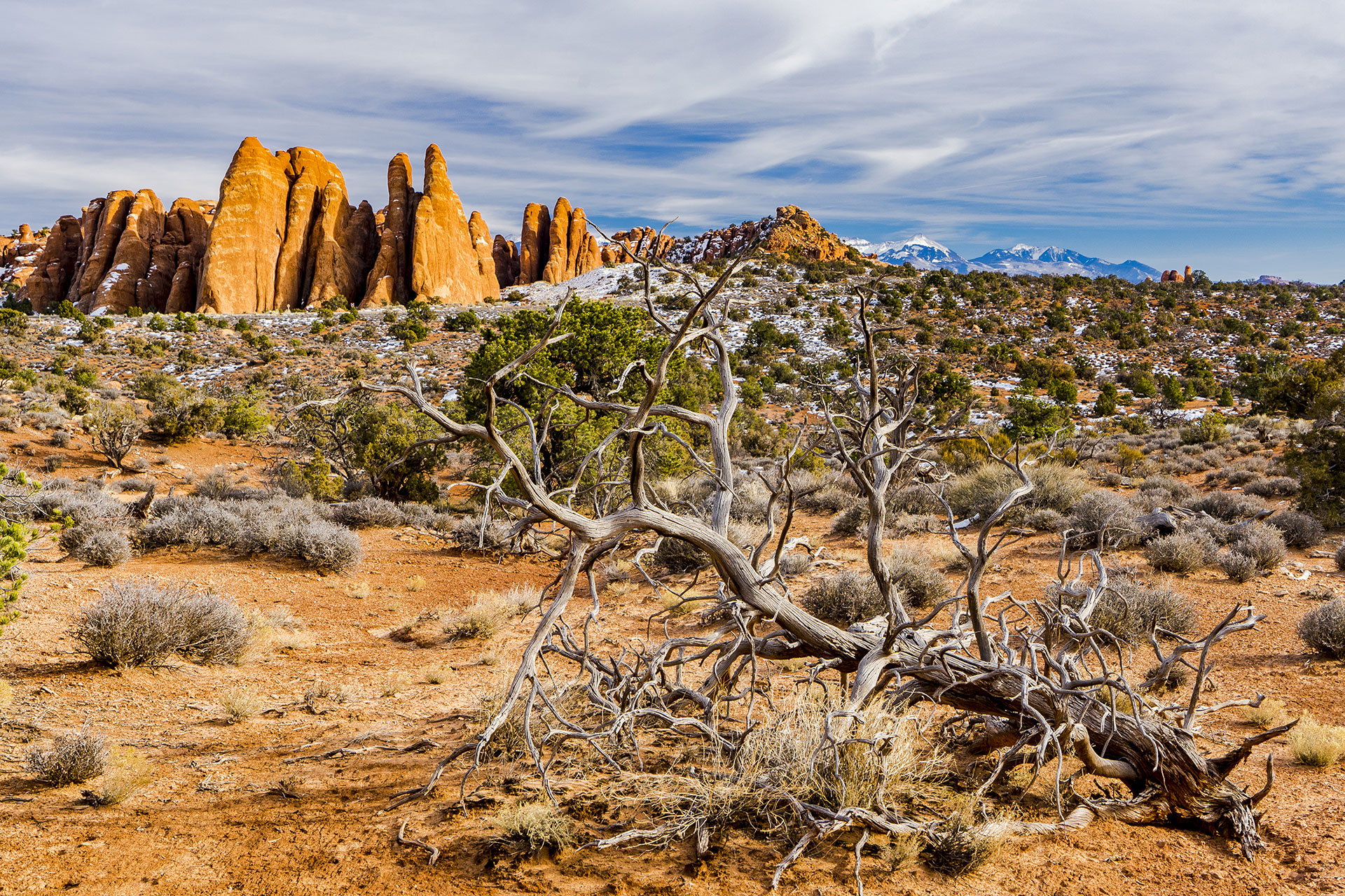
Flat plains broken by low hills and ancient dry riverbeds
Sparse succulent Karoo vegetation adapted to extreme dryness
The iconic quiver trees (Aloe dichotoma), standing like statues against the horizon.
Rich red soils, dolerite koppies, and gravel tracks etched into time
The Tankwa River, mostly dry but historically vital for early inhabitants.
Location & Size
Located roughly 4–5 hours northeast of Cape Town.
Lies within the Succulent Karoo biome, one of the world’s biodiversity hotspots
Encompasses parts of the Tankwa Karoo National Park, which spans over 140,000 hectares.
Climate
Arid and extreme: Scorching summers (often above 40°C), icy winters with frost.
Low rainfall (under 150 mm/year), mostly in winter.
Clear, dry air — ideal for stargazing and astrophotography.
The Tankwa Karoo is a semi-desert region in South Africa, characterized by its arid landscape and unique biodiversity. It’s located on the southwestern edge of the Great Karoo, bordered by mountains to the west, east, and north, and the Karoo Poort valley to the south.
The Tankwa Karoo National Park, within this region, spans approximately 144,000 hectares and straddles the border between the Northern and Western Cape provinces.